
Electromagnetic spectrum operations explained: EMSO, JEMSO, and EMBM
How DoD runs electromagnetic spectrum operations: JP 3-85, the EMS superiority strategy, JEMSO cells, EMBM, service EW units, and GAO's...
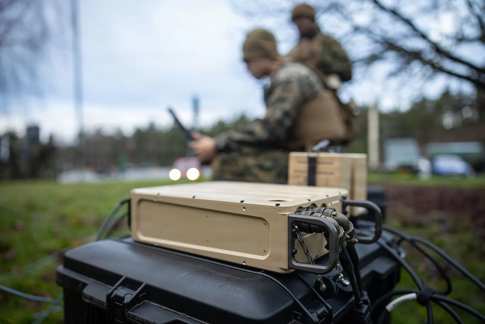
Every modern unit lives inside an electromagnetic environment it did not build and cannot fully see. Radios, radars, satellite terminals, datalinks, cell phones, drones, power generators, and the enemy's own emitters all share the same spectrum. Some of those signals are threats. Some are friendly systems interfering with each other. Some are your own emissions advertising your location to anyone with a receiver and a map.
Spectrum awareness is the discipline of seeing that environment well enough to act on it. For force protection, it answers practical questions. Is someone flying a drone over the installation? Is the GPS problem on the flight line a broken receiver or a jammer? What does our command post look like to an adversary's direction-finding network? Can we prove where an interfering signal is coming from so someone can shut it off?
This article covers the basic physics of RF sensing, the main ways emitters are detected and located, how DoD reports and resolves interference, how RF sensing fits into installation counter-drone defense, and how units are starting to measure their own signatures. It relies only on public sources, and it says so where details are not public.
Joint doctrine frames the problem through the electromagnetic operational environment, or EMOE. Joint Publication 3-85, Joint Electromagnetic Spectrum Operations, defines it as the "composite of the actual and potential EM radiation, conditions, circumstances, and influences that affect the employment of capabilities and the decisions of the commander."
That definition is broad on purpose. The EMOE includes enemy emitters, friendly emitters, neutral and civilian users, and natural noise. Awareness of it is not one sensor or one cell. It is the combined picture built from spectrum management databases, intelligence collection, EW support, interference reports, and direct measurement.
JP 3-85 assigns part of that work to spectrum managers. They coordinate use of the spectrum through frequency assignment, maintain a "common frequency database," monitor the "actual use of the EMS," and provide measurements of the electromagnetic environment to the joint electromagnetic spectrum operations cell, or JEMSOC, for situational awareness. In other words, the plan for who should be transmitting where is only half the picture. Someone also has to measure what is actually happening.
For force protection, spectrum awareness usually breaks into four jobs:
RF sensing is passive in its basic form. A receiver listens. It does not transmit, which makes it hard to detect and lets it operate continuously. But passive sensing only works when the target emits, and it only works as well as the signal arriving at the antenna allows.
Every receiver competes with noise. Thermal noise in the receiver itself, man-made noise from nearby electronics, and natural noise all raise the floor that a signal has to rise above. The farther away an emitter is, the lower its power, and the more terrain or structures sit between it and the sensor, the weaker the signal at the antenna. Low-power emitters such as small drone controllers or handheld radios may only be detectable at short range, especially in cluttered environments.
Signal-to-noise ratio also drives accuracy when a system tries to find the direction to an emitter. Technical descriptions of direction finding note that thermal noise degrades bearing estimates when signals are weak, and that uncertainty grows as signal-to-noise ratio falls. A system that can detect a signal is not necessarily able to locate it precisely.
The environment around a military installation or a forward command post is rarely quiet. Common descriptions of electromagnetic interference distinguish narrowband interference, which sits at specific frequencies, from broadband interference, which spreads energy across a range of frequencies with no clear peak. Interference can come from human-made sources such as ignition systems, power supplies, digital electronics, and cellular networks, from natural sources such as lightning and solar activity, and from intentional sources such as jamming.
The International Telecommunication Union describes interference as "the effect of unwanted energy due to one or a combination of emissions, radiations, or inductions upon reception in a radiocommunication system." For a spectrum awareness system, all of that unwanted energy is clutter that has to be sorted from the signals that matter.
Radio signals reflect off buildings, vehicles, terrain, and the ground. A receiver can see the same signal arrive from several directions at slightly different times. Direction-finding literature lists multipath and site effects among the main sources of bearing error. Calibration and lookup tables can correct for some antenna and installation imperfections, but environmental multipath remains hard to remove. Urban areas and cluttered flight lines are among the most difficult places to locate emitters accurately.
Detection answers the question "is something there?" Location answers "where is it?" Many sensors do the first well and the second less well. Understanding the main location techniques helps program offices and users set realistic expectations.
Direction finding, or DF, is "the use of radio waves to determine the direction to a radio source." A single DF sensor produces a bearing, a line pointing toward the emitter. It does not produce range. To get a position, a system needs bearings from two or more sensors at different locations. Where the lines cross is the estimated location, a process known as triangulation or taking a fix.
DF has a long history. Early systems used rotating loop antennas and listened for the null, the direction of weakest signal. The Adcock antenna, introduced in 1919, used four monopoles to reject unwanted horizontal signal components. During the Second World War, British high-frequency direction finding, known as "huff-duff," became a major tool against German submarines that transmitted by radio. One commonly cited estimate credits HF DF networks with being "directly or indirectly responsible for 24% of all U-boats sunk during the war." The lesson has not changed since: an emitter that transmits can be found.
Modern DF systems use several techniques:
A second approach measures timing differences across widely separated sensors rather than across one antenna array. In time difference of arrival, or TDOA, multilateration, each sensor records when a signal arrives. The differences in arrival time between pairs of sensors define curves (hyperbolas in two dimensions) on which the emitter must lie. Where those curves intersect is the estimated position.
TDOA has a useful property: it does not require knowing when the signal was transmitted. That unknown drops out when arrival times are differenced. It does require accurate time synchronization across the sensors, which is often provided by GNSS timing. To locate an emitter in two dimensions, at least three receivers are needed. In three dimensions, at least four are needed. Accuracy depends heavily on sensor spacing and geometry.
The dependence on GNSS timing creates a practical vulnerability. A TDOA network that relies on GPS for synchronization can be degraded by the same jamming it may be trying to locate, unless it has a backup timing source.
Simpler systems estimate location from received signal strength across several sensors. These methods are easy to implement but less accurate, because received power depends on antenna patterns, terrain, and multipath as much as on distance. They are useful for rough localization and for cueing more precise sensors.
No single RF technique gives a complete picture. In practice, RF sensing works best as one layer among several. The Congressional Research Service, describing counter-drone systems, lists three main detection approaches: "Electro-optical, infrared, or acoustic sensors to detect a target by its visual, heat, or sound signatures," radar, and "Identifying the wireless signals used to control the UAS, commonly using radio frequency sensors." RF sensors can detect and sometimes identify a drone and locate its controller. Radar and electro-optical sensors can track the aircraft itself, including one that is not transmitting.
Much of day-to-day spectrum awareness is not about enemies at all. It is about finding and fixing interference. A degraded satellite link, a radar showing false targets, a radio net that keeps dropping, or a GPS receiver that loses lock may all be caused by electromagnetic interference. DoD has a formal process for this.
The Joint Spectrum Interference Resolution program is governed by Chairman of the Joint Chiefs of Staff Manual 3320.02E, issued May 20, 2022. The manual states that it "outlines reporting, response, and resolution procedures for spectrum interference throughout the U.S. Department of Defense (DoD)." It defines electromagnetic interference as "Any electromagnetic disturbance that interrupts, obstructs, or otherwise degrades or limits the effective performance of electronics or electrical equipment."
The manual sets up a tiered process:
Reports are entered into JSIR Online, which the manual describes as "a Web-based, centralized application containing data and correspondence for reported EMI, intrusion, and jamming incidents." The Joint Spectrum Center manages the program and provides interference resolution support to commanders, including research, analysis, and on-site teams.
The manual draws a clear line between unintentional interference, such as equipment malfunctions, spurious emissions, or natural phenomena, and suspected hostile electromagnetic attack. Suspected hostile activity must be reported immediately and triggers notifications to intelligence staffs and senior leadership.
That distinction is why measurement matters. A unit that cannot tell the difference between a failing amplifier and a jammer may either ignore a real attack or raise a false alarm. Organic RF sensing and DF capability let units gather evidence before escalating, and give higher echelons better data when they do escalate.
Interference reporting is easy to neglect. Units under pressure work around problems rather than documenting them. But the JSIR process depends on reports. Unreported interference cannot be analyzed, patterns across units and locations go unnoticed, and hostile activity can hide inside what looks like routine equipment trouble. Good spectrum awareness includes the unglamorous habit of writing it down.
The most visible force protection use of RF sensing in recent years has been countering small drones over U.S. military installations.
In February 2025 testimony before the Senate Armed Services Committee, Gen. Gregory Guillot, commander of U.S. Northern Command and NORAD, said, as reported by DefenseScoop: "There were 350 detections reported last year on military installations, and that was 350 over a total of 100 different installations of all types and levels of security." He described his main concern as "detection and perhaps surveillance of sensitive capabilities on our installations."
Later reporting by Breaking Defense on NORTHCOM's Falcon Peak 2025 counter-drone exercise quoted Guillot describing roughly "one and two incursions per day" at DoD installations, and reported that sightings rose from about 230 in the September 2023 to 2024 period to about 420 the following year. Different counting periods and methods explain some of the difference between these figures, but the trend in public reporting is consistent: incursions are frequent and rising.
DoD's domestic authority to act against drones comes from 10 U.S.C. 130i. The statute allows the Secretary of Defense, and authorized personnel including contractors, to take actions necessary to mitigate threats to covered facilities and assets. Those actions start with the ones RF sensing supports directly: to "detect, identify, monitor, and track" unmanned aircraft. They also include warning the operator, disrupting control by interfering with communications, seizing or exercising control of the aircraft, and using reasonable force to disable or destroy it.
The authority is limited. It applies to covered facilities and assets identified through a risk-based assessment and tied to specific missions, such as nuclear deterrence, missile defense, national security space, and critical installations. Under current law it terminates on December 31, 2030. The legal limits on detection and mitigation are part of why commanders have described installation counter-drone defense as constrained.
Falcon Peak 2025, held at Eglin Air Force Base in Florida in late September 2025, tested industry solutions for detecting, tracking, and defeating drones at domestic installations. Breaking Defense reported that the exercise included electromagnetic sensing and command-and-control systems, acoustic sensors intended to detect drones that do not emit, infrared sensing, and low-cost camera systems.
Guillot's assessment of the prior year's results was blunt. Detection had improved, but "Our ability to track them once we've detected them...was okay, not great. And then our ability to defeat them was poor," particularly with non-kinetic methods. He reported significant improvement in all three areas after the 2025 exercise.
The inclusion of acoustic sensing for drones "without electronic emissions" points to a known limit of RF sensing. A drone that flies autonomously, or that is controlled by a means other than radio, may give an RF sensor nothing to detect. RF sensing is valuable because many drones do emit, and because it can sometimes locate the operator. It is not sufficient by itself.
The newest and arguably most important force protection use of RF sensing is turned inward. Units are measuring their own emissions to understand how visible they are.
The logic is the same as huff-duff in the Second World War. If an adversary can detect and locate your emitters, it can target them. Public reporting on the war in Ukraine has made this concern central to Army thinking about command post survivability. A 2024 DefenseScoop report tied the Army's push for spectrum decoys and obfuscation to lessons from Russia's operations in Ukraine, and quoted Maj. Gen. Paul Stanton: "We need decoy systems such that if the enemy is looking at us through the electromagnetic spectrum, they can't pinpoint us."
The Army has been working on this problem for several years. In 2020, C4ISRNET reported that the Army wanted to reduce the electromagnetic signatures of its command posts, with measures under consideration including spectrum obfuscation, decoys, concealment, and spectrum awareness technology that would let soldiers identify and mitigate their own signature. Brig. Gen. Robert Collins said at the time: "We really want to look at how we can reduce the signature of our command posts...how we can potentially do spectrum obscuration, as well as decoys."
A 2021 Army article described work at the Army's C5ISR Center on tools that provide "intuitive graphic overlays that enable Soldiers to visualize the energy emitting from their radio frequency systems." An engineer quoted in the article put the requirement simply: "Knowing what we look like to the enemy from an electromagnetic perspective is a critical capability at all echelons."
That line of work has produced a fielded program. The Army's Spectrum Situational Awareness System, or S2AS, is designed to detect and report electromagnetic signatures and interference sources in near real time and to support commanders' emissions control decisions.
The program has moved quickly by acquisition standards:
Army officials have described the purpose plainly. Col. Scott Shaffer, the project manager for electromagnetic warfare and collection, said in the production announcement that the technology "prevents electronic fratricide and significantly increases command post survivability against modern threats." Lt. Col. David Picard, quoted by DefenseScoop, summarized the logic of measuring your own emissions: "You got to measure it, and that's what this system does." According to that reporting, the portable system can be carried by two soldiers or mounted on vehicles and tripods, and can identify unauthorized emissions such as cell phones or radio traffic that violates friendly procedures.
Measurement is the foundation for emissions control. A commander can order reduced emissions, but without measurement nobody knows whether the order worked, which emitters still stand out, or how far away the command post can be detected. Friendly signature measurement turns emissions control from a policy into a verifiable practice. It also supports deception. Decoys and obfuscation, such as the Army efforts DefenseScoop reported under names including MAGPIE and the Modular Electromagnetic Spectrum System, depend on knowing what the real signature looks like so the false ones can mimic it.
Many disappointing spectrum awareness deployments trace back to sensor placement rather than sensor quality. The physics described above turns directly into siting rules.
At the frequencies used by most tactical radios, drone links, and datalinks, signals travel best along clear lines of sight. A sensor mounted low, behind a hangar, or inside a vehicle sees far less than the same sensor on a mast or rooftop. Raising an antenna is often the cheapest way to improve detection range. The same principle works in reverse for signature management: an antenna mast that helps a command post communicate also makes it easier to detect from farther away.
Location accuracy depends on geometry as much as on the sensors themselves. Two DF sensors whose bearings cross at a sharp angle produce a tighter fix than two sensors whose bearings are nearly parallel. TDOA networks need sensors spread around the area of interest, not clustered on one side of it. A practical rule for planners is to place sensors so that likely emitter locations fall inside the area bounded by the sensors, rather than outside it, where small timing or bearing errors grow into large position errors.
Every installation has terrain, buildings, and other obstructions that create shadows. A survey before deployment, using a portable receiver to walk or drive the perimeter, shows where coverage is strong and where it is weak. The same survey establishes a baseline of normal activity, so that operators are not chasing the same legitimate signals every day.
Sensors need power, a timing reference, and a way to send data to whoever acts on it. Each of those is a dependency that can fail. A network that loses its timing reference may lose its ability to locate emitters. A sensor that cannot report in real time may detect a threat after it has already left. Planning for backup power, alternative timing, and resilient data paths is part of the job, not an afterthought.
A hypothetical example shows how the pieces fit together. The details below are illustrative, not a description of a specific event.
A unit's satellite terminal starts losing its link at irregular intervals, mostly in the afternoon. The communicators first check their own equipment: cables, connectors, power, pointing, and configuration. The problem persists. Following the JSIR process, they document the symptoms, times, frequencies affected, and location, and submit a report within the required window.
The unit's spectrum manager pulls a portable receiver and watches the affected band during the afternoon window. A signal appears that does not match any assignment in the frequency database. Its timing lines up with the outages. A handheld direction-finding antenna produces a rough bearing, and a second bearing taken from another position narrows the source to a cluster of buildings on the edge of the site.
At this point the unit has evidence, not just a complaint. A walk-through of the buildings finds a piece of equipment, perhaps a newly installed commercial device or a malfunctioning transmitter, radiating unwanted energy in the band. The fix is simple once the source is known: shut it off, reconfigure it, or move it.
The same process, with different results, could have pointed somewhere else. If no friendly source were found and the signal showed characteristics consistent with deliberate jamming, the unit would escalate it immediately as suspected hostile activity, as the JSIR manual requires, and the combatant command's JEMSOC and the Joint Spectrum Center could bring more capable resources to bear.
The example makes three points. First, most interference is solved with basic tools and disciplined troubleshooting. Second, reporting matters even when the cause turns out to be benign, because the record helps the next unit and helps analysts spot patterns. Third, organic sensing and DF capability let units gather enough evidence to tell the difference between a nuisance and an attack.
Spectrum awareness improves fastest when it becomes part of routine training rather than a specialty event. Several practices help.
For a program office, a base commander, or a unit trying to improve spectrum awareness, the technology is only part of the answer. The rest is people, process, and data.
Spectrum awareness depends on trained operators who understand both the equipment and the environment. Spectrum managers, EW specialists, communicators, and intelligence analysts all contribute. Units that treat spectrum sensing as a single specialist's job tend to get less out of it than units where communicators understand their own signatures and commanders understand what the measurements mean.
Good processes tie measurement to action:
Measurements are only useful if they are recorded, shared, and compared. JP 3-85 describes spectrum managers maintaining a common frequency database and providing environmental measurements to the JEMSOC. That pattern applies at every level. Sensor data that stays on one laptop does little for the next unit, the next shift, or the analyst trying to spot a pattern across installations.
For acquisition and requirements staff evaluating spectrum awareness tools, a few questions help separate useful capability from impressive demonstrations:
RF sensing is powerful, but its limits are real.
None of these limits argues against RF sensing. They argue for layering it with other sensors, investing in trained people, and setting realistic expectations for what any single system can do.
Several developments will shape spectrum awareness for force protection over the next few years.
First, watch friendly signature measurement move from a niche capability to a routine one. The Army's S2AS fielding schedule, with 46 systems expected by July 2027 according to public reporting, will show how quickly units can adopt the practice of measuring themselves and acting on the results.
Second, watch installation counter-drone defense. Public figures from NORTHCOM describe rising incursions, and exercises such as Falcon Peak show detection improving faster than tracking and defeat. How RF sensing integrates with radar, acoustic, and electro-optical layers, and how legal authorities evolve, will determine how effective installation defense becomes.
Third, watch the drones themselves. As more systems fly autonomously or use control methods that do not radiate, RF sensing will play a smaller role in detecting the aircraft and a larger role in detecting the supporting network around it.
Finally, watch interference reporting. As the spectrum gets more crowded and more contested, the discipline of reporting and resolving interference through the JSIR process becomes more important, not less. The best sensor in the world adds little if nobody writes down what it found.
Spectrum awareness is not one product. It is the combined ability to see the electromagnetic environment, find what does not belong, locate it, and act. For force protection, that means detecting threats such as drones and jammers, resolving interference through established processes, and, increasingly, measuring and controlling your own signature. The physics has not changed since huff-duff: what transmits can be found. The difference now is that both sides have the tools to do the finding, and the units that measure themselves first will be harder to target.
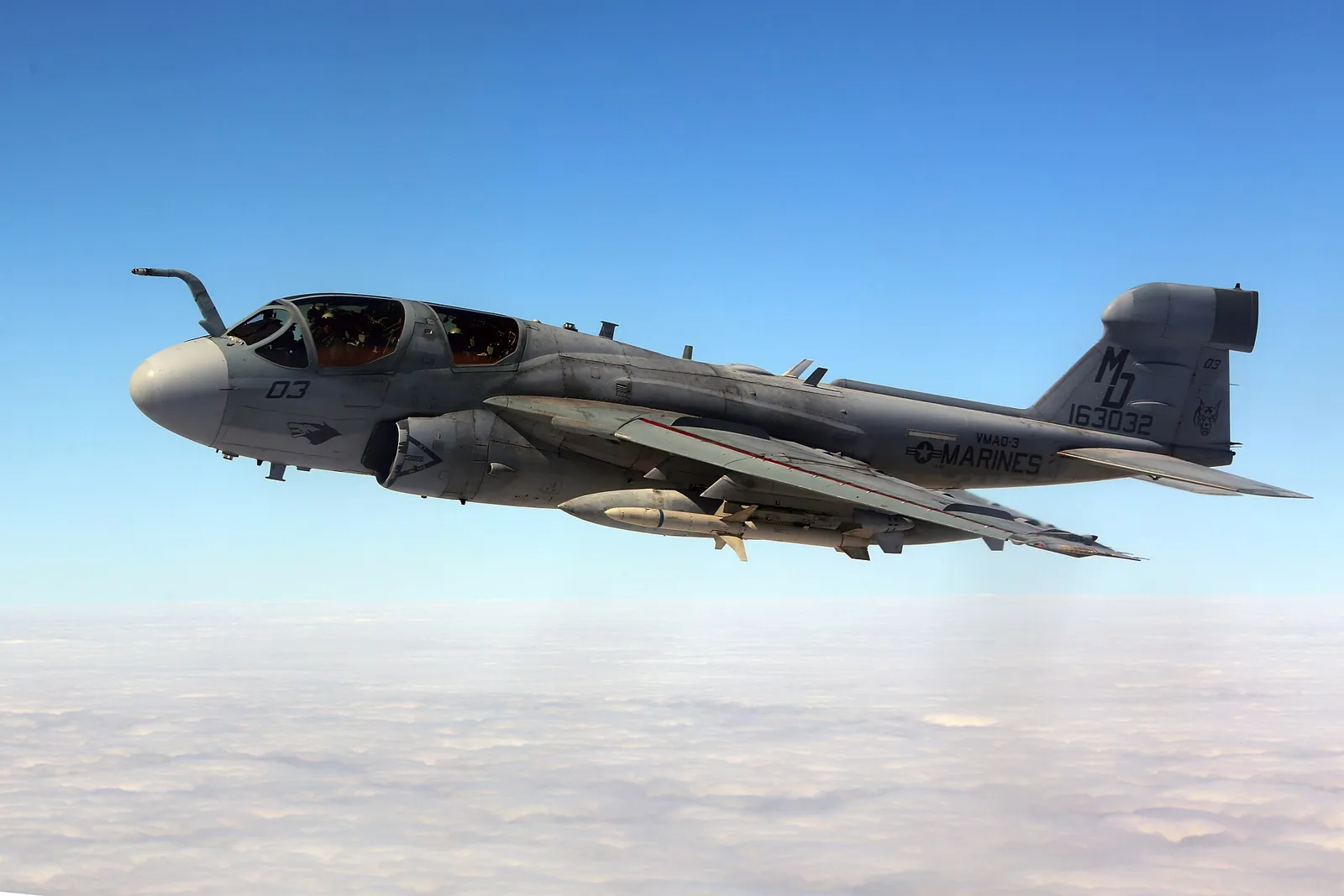
How DoD runs electromagnetic spectrum operations: JP 3-85, the EMS superiority strategy, JEMSO cells, EMBM, service EW units, and GAO's...
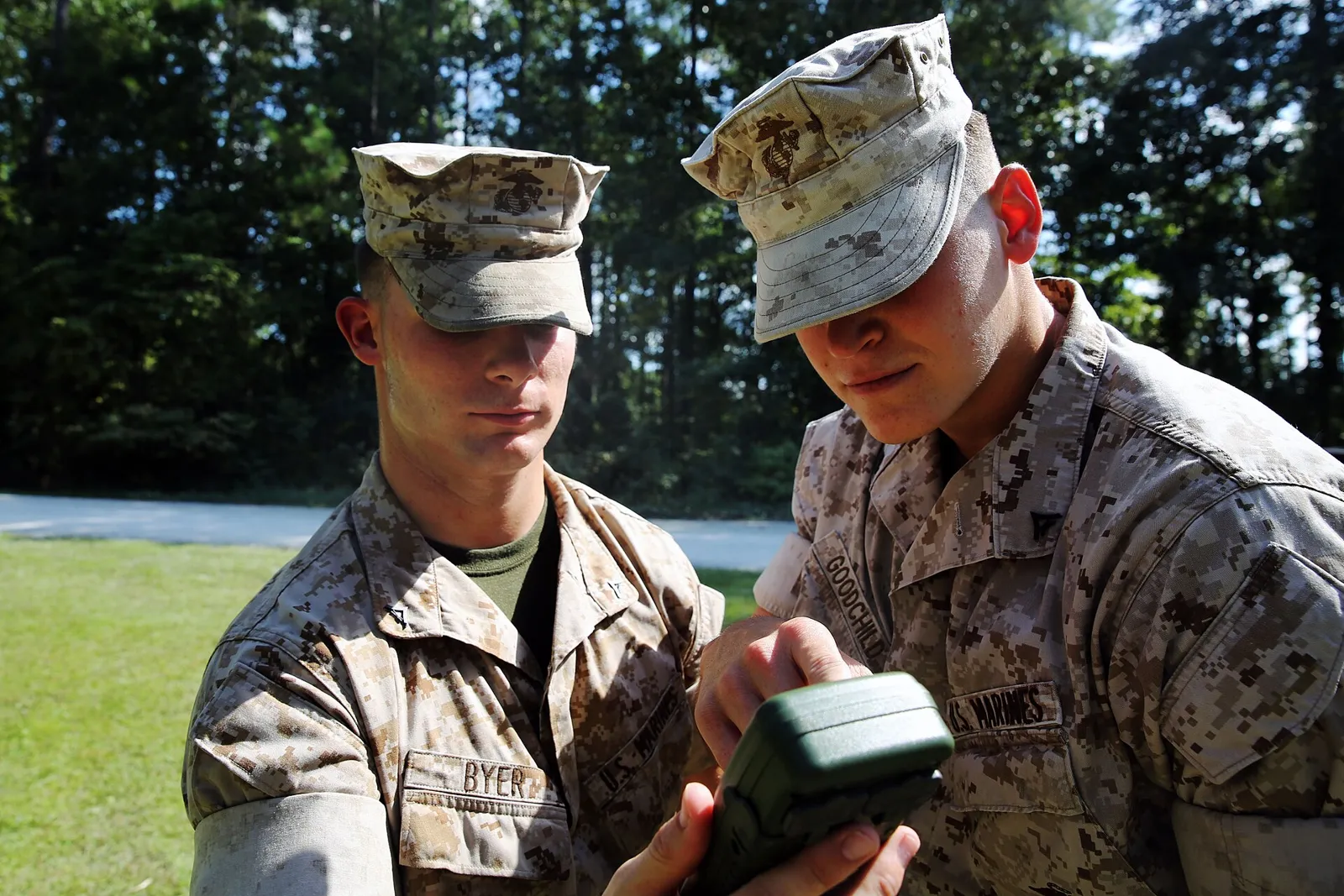
How GNSS jamming, spoofing, and meaconing work, what Ukraine, the Baltic, and the Middle East show, and how militaries, regulators, and engineers...
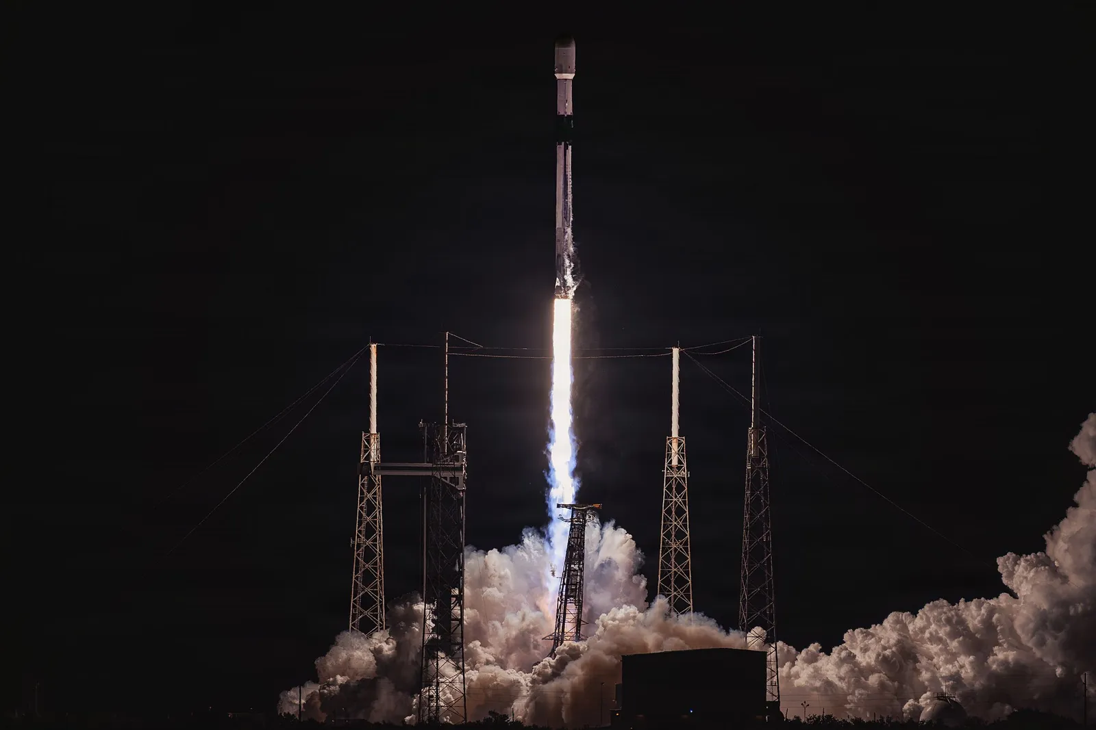
How DoD is building assured PNT: GPS and M-code status per GAO, Army MAPS and DAPS, LEO PNT, eLoran, magnetic, vision, quantum sensing, and...